June 11, 2006 - Gastons to Kansas City

All good things must come to an end, and after enjoying Gastons great Sunday Brunch, it was time to depart.  The weather today was not nearly as nice as it had been yesterday.  It was much hazier today, and hot.  There were thunderstorms to the north to worry about.

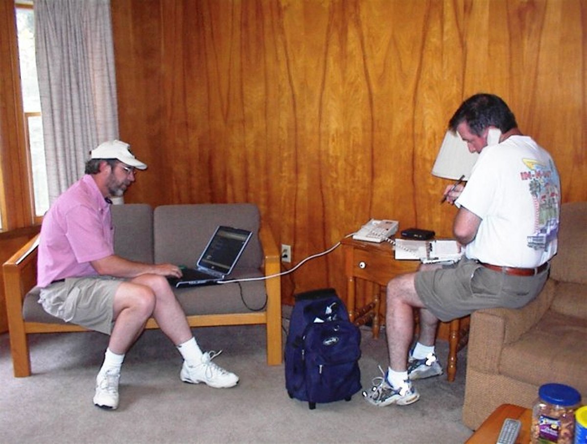
My plan was to fly to St. Louise, stop at Creve Coeur airport where they have a superb antique aircraft museum, then continue west along the Missouri River to Kansas City.  I got a weather brief from the flight service station over the phone, but it was confusing.  I wasn't sure if I could make it to either St. Louis or even direct to Kansas City.  I was able to see the radar picture for myself here on a laptop which really cleared things up.  The way to St. Louis was open but not the way to Kansas City.

   
I said goodbye to everyone and took off from Gastons, heading northeast.  The visibility wasn't very good due to haze.  After awhile it started getting worse.  It was just about to the point where I was going to land at a nearby airport, when suddenly it started improving.  Soon, it had turned into a nice flying day!
   
Typical southern Missouri and Arkansas terrain:  hilly with lots of trees and a few grassy areas.
   
I thought I was home free to St. Louis when I noticed a line of cumulous clouds ahead of me stretching from west to east.
   
I tried using the "self-portrait" function in my digital camera.  It worked pretty well.  Or maybe not.
   
See how the line of clouds stretches to the west.  I've never seen a front like this so visible and defined.
   

Once I got to the line of clouds, I was able to fly under them and have plenty of altitude above the ground.  But gradually the ceiling dropped lower and lower.  30 miles out of St. Louis, I was down to 1,000 feet above ground level, about as low as I wanted to go. 
 
Then, 20 miles from St. Louise, I took the below picture.  I could see hills ahead, and the ceiling dropped to the top of the hills.  This was as far as I could go.  I turned to the east to try to see if I could get through, but nothing doing.  I turned back west and tried to loop around to the north, but the bad weather seemed to be centered right over where I wanted to go.
 
   
There was nothing to do but give up on St. Louis and head west along the Missouri River towards Kansas City.
   
The weather soon started clearing up.
   
The terrain had changed from forests to plains and farm country.
   
The big, muddy Missouri River.
   
Following the Mighty Mo.
   
Highway to the west.
   
I had fun flying low over the river and adjoining fields.
   
I pass a big tug and barge heading west.
   
A big sandbar in the river.
   
I stopped at Jesse Viertel Airport (KVER) - elevation 715 feet - in Boonville, Missouri, for gas.  There were a few planes on the ramp, but it was deserted except for the airport attendant, who was very helpful.  He offered me the courtesy car but I didn't need it.  This would have been a better place to overnight than what I ended up doing.
   

Continuing west along the river.  The skies had turned overcast but the weather was no factor in flying.

After awhile, I could see Kansas City on the horizon, and I left the river, angling to the southwest.  Soon I was flying over suburbs.  I stopped for the night at Johnson County Executive Airport (KOJC) - elevation 1,096 feet - which was a towered airport.  The FBO - Kansas City Aviation Center - was a little upscale for the Citabria -- they handle business jets mostly-- but they treated me like I was one of the big boys.  I stayed at a Holiday Inn which had shuttle service.  I just ate dinner and breakfast in the hotel restaurant.  Not great but it was convenient.


Previous
Home
Next